
Xavair / Services in development
Know the land.
Connect the future.
From the internet at the edge to insight from above, we’re developing tools for a more connected West Africa.
Concept in research
Internet from the stratosphere.
A vision of Xavair high-altitude platform stations — solar-powered aircraft designed to hold station far above the weather and beam connectivity down to West Africa. Research-stage concept; not yet in operation.
Solar-powered endurance
Wings covered in solar cells, designed to stay aloft for months at a time on sunlight alone.
Station-keeping
Engineered to hold position in the calm stratosphere, above weather and commercial air traffic.
Connectivity & edge
A near-satellite platform planned to deliver internet and edge computing to underserved regions.
A broader mission
Four ways to move forward.
These capabilities are planned and subject to development, partnerships and relevant approvals.
Internet provision
Connectivity designed for places where reliable access matters most — from remote operations to growing communities.
Planned connectivity solutions
Edge computing
Process information close to where it is collected, so decisions can happen without waiting on distant infrastructure.
Planned on-site processing
Land mapping
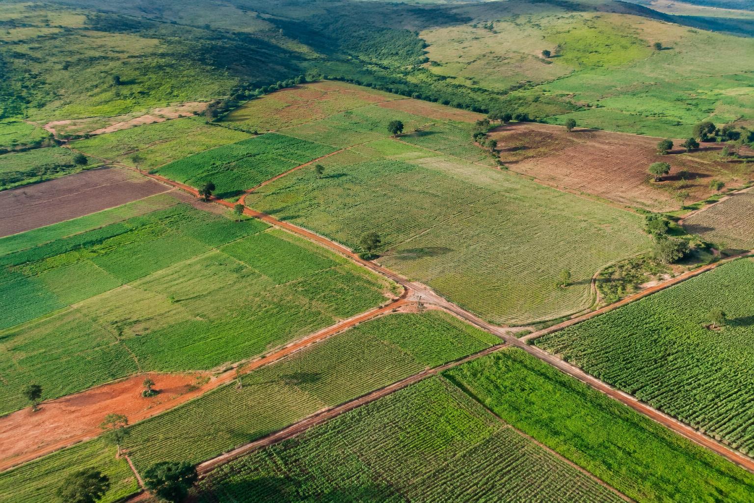
Aerial surveys of farmland, terrain and mineral-bearing ground — identifying field boundaries, monitoring change and helping teams plan responsible ground investigation. Imagery does not confirm deposits.
Planned geospatial surveys
Sub-utilities mapping
Locating and charting underground and overhead utilities — power, water and telecom lines — so excavation, construction and network expansion can happen safely.
Planned utility surveys
Work with Xavair
The next chapter is built together.
Planning a project in connectivity, land or utility mapping? Start a conversation with our team.
Get in touch Explore cargo